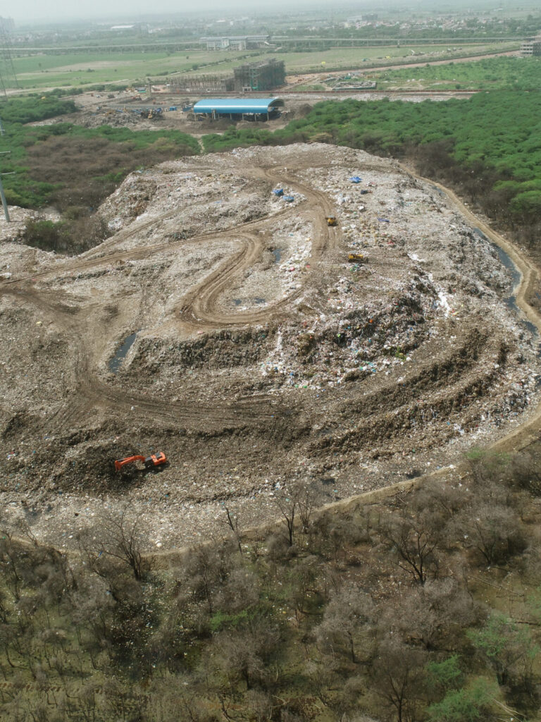
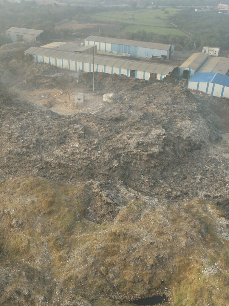
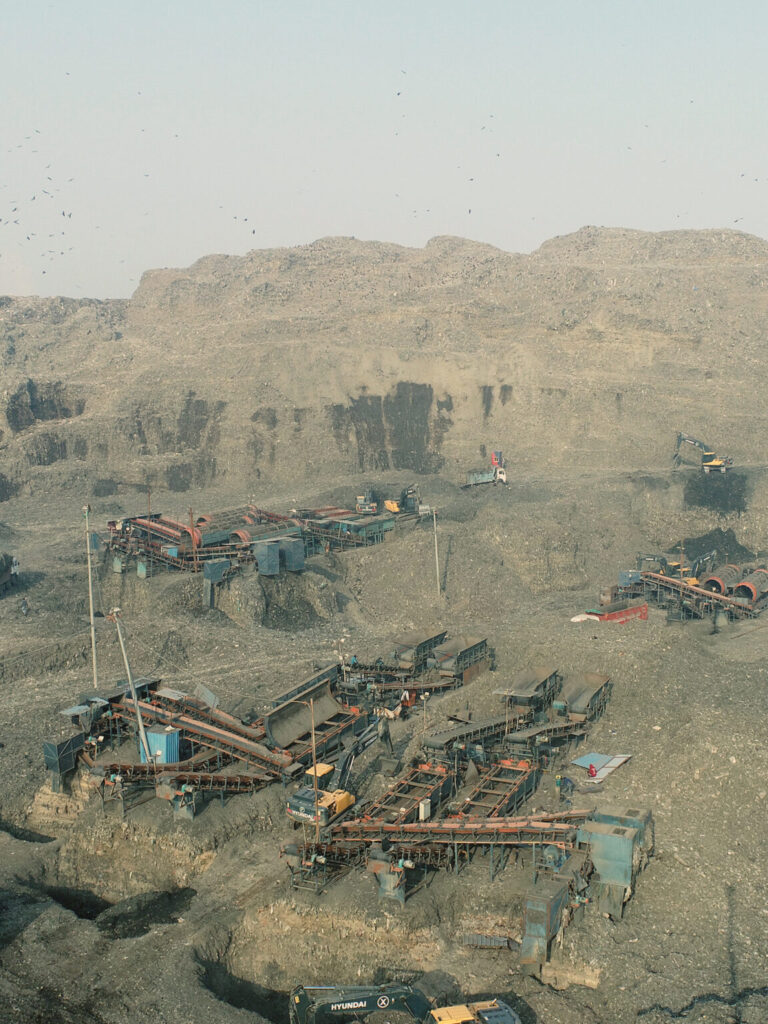
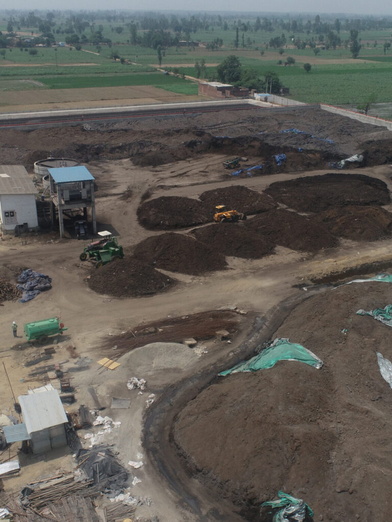
Sanitary Landfill & Volumetric Analysis

We use advanced drone photogrammetry techniques for providing elevation profiles of site which will allow to monitor erosion over time or accurately calculate the volume of fill left in site. This information can help spot issues as they emerge, fix them sooner and usually at a lower cost.

One of the most common uses of drones in the solid waste and recycling industry has been to take aerial photos or videos of facilities. Within large solid waste and recycling facilities, drones can photograph areas that are less accessible to allow troubleshooting.

For Identification of Vegetation and Emerging Leachate

If site is capped, we can conduct regular analysis of the health of the vegetation cover, identifying areas of stressed vegetation which could be indicative of an emerging problem and for potential identification of areas where leachate is reaching the surface.

Thermal Heat Detection

  • SDrones have thermal imaging cameras. These images take high quality images that inspectors and managers can then use to detect temperature variation on a site.
  • Waste management companies and landfills can use this information to predict subsurface landfill fires before they spread, adds Forester Media.